Mallorca is a top destination for hiking, with routes that offer everything from coastal panoramas to mountainous challenges. In this article, we will tell you everything you need to know to enjoy hiking in Mallorca: the best routes, tips and tricks, and some anecdotes that will make you see the island with different eyes.
Contenidos / Contents
Geographical and historical context of hiking in Majorca
Geography of Mallorca
Mallorca, the largest of the Balearic Islands in the Mediterranean, is known for its geographic diversity ranging from white sandy beaches to rugged mountains.
The terrain varies significantly from one part of the island to another, making it an exceptional destination for all types of outdoor activities, including hiking.
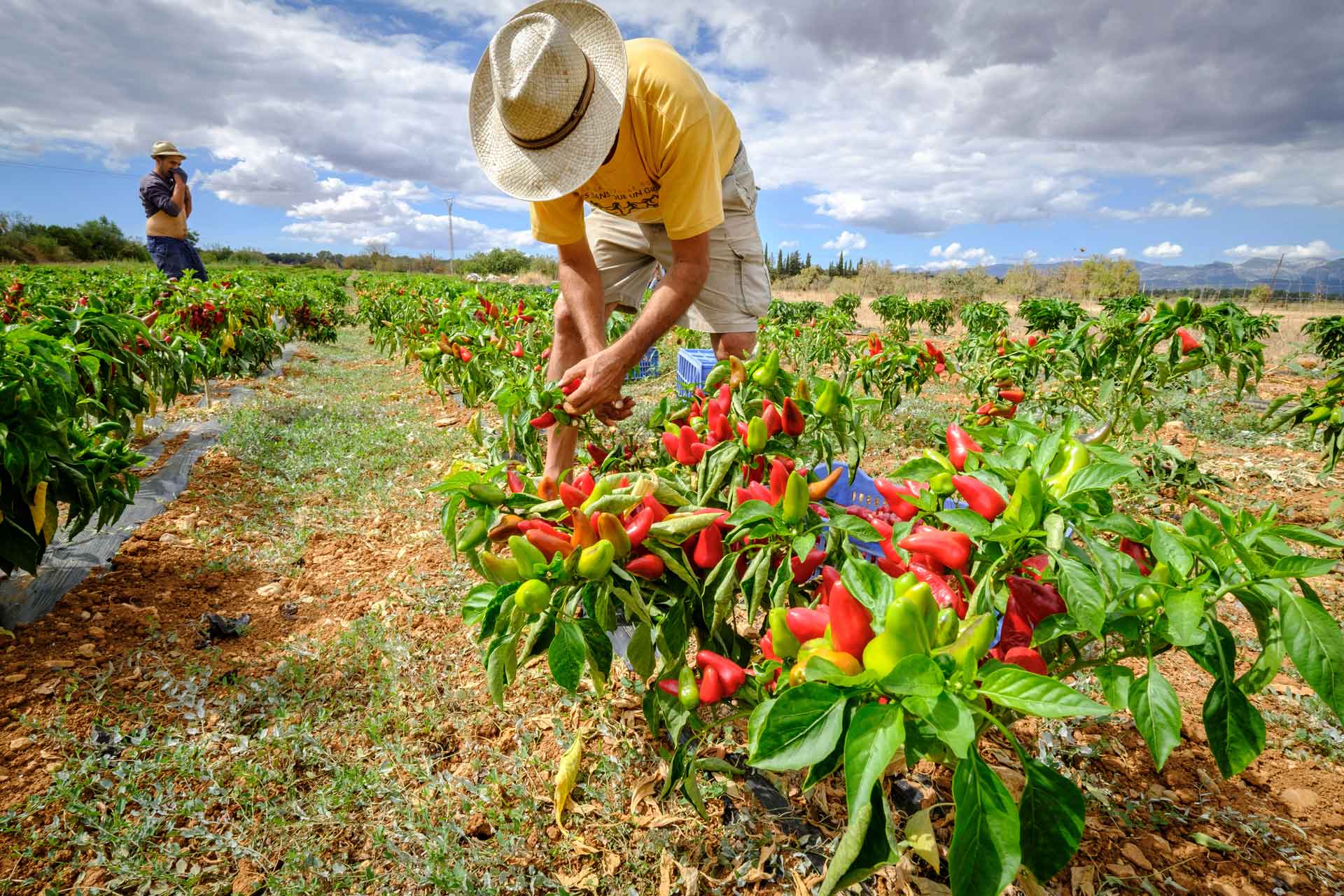
The north of the island is mountainous, with the Tramuntana mountain range dominating the landscape, while the south tends to be flatter and is where most of the tourist beaches are located. The Pla de Mallorca, located in the central region, is a vast plain that is primarily agricultural.
Weather
Mallorca enjoys a Mediterranean climate, with mild winters and warm summers. This climate allows hiking almost all year round, although the most pleasant months are usually those located in spring and autumn, when temperatures are moderate and the landscape is at its best.
Historical importance of hiking
Hiking in Mallorca has both practical and recreational roots. Historically, the island’s trails and paths were the main routes of communication between towns and cities before the development of modern roads.
The island has seen a boom in hiking tourism in recent decades, partly due to improved signage and trail maintenance, but also because of a growing interest in sustainable and active tourism.
Routes such as the Sierra de Tramuntana, a UNESCO World Heritage Site, have gained international fame, but as we have seen, even lesser-known areas such as the Pla de Mallorca have much to offer hiking enthusiasts.
In short, Mallorca is a geographical treasure with an ideal climate for hiking, enriched by a rich history that has made walking more than just a pastime on the island; it is an integral part of its cultural heritage.

The 5 advantages Mallorca offers as a hiking destination
- You will never tire of its landscapes. One of Mallorca’s greatest assets is its diverse terrain. From the high peaks of the Sierra de Tramuntana to the plains of the Pla de Mallorca, the island offers a variety of landscapes that make it perfect for all types of hikers, whether beginners or experienced.
- You can go hiking at any time of the year. Thanks to its Mediterranean climate, Mallorca is a year-round hiking destination. Winters are mild, allowing you to explore without the rigors of the cold, while summers are warm but bearable, especially in the higher areas. However, spring and autumn take the cake in terms of ideal weather conditions.
- Culture and history will accompany you. Many of the trails in Mallorca are steeped in history and culture. From ancient trade routes to paths built by royalty, each trail has its own history. This adds an extra layer of interest to the excursions, turning each hike into an outdoor history lesson.
- Mallorca is well connected to the rest of Europe through its international airport in Palma. In addition, the island has a good public transport infrastructure that makes it easy to reach the starting points of the trails. This accessibility makes it an attractive destination for hikers who do not want to spend a lot of time in transfers.
- You have all the difficulty options. In Mallorca there are trails for all skill levels. From quieter, flatter coastal routes, ideal for families or novice hikers, to challenging ascents of peaks such as Puig Major, there are options for everyone. In addition, good signage and maintenance of the trails make the experience safe and enjoyable.
The main hiking trails of the Pla de Mallorca
Hiking Route to Puig Roig in the Pla de Mallorca
Key data of the route
- Distance: 5,3 km
- Route: Gentle, with a slope at the end.
- Difficulty level: Easy
- Duration: Approximately 1 hour and 35 minutes.
What we will see on the road
During the tour, we will observe several heritage elements that can be visited in Algaida. It is recommended to walk calmly through the village to admire them carefully. We will see wells, crosses of term, listed buildings and houses that maintain the typical architecture of the villages of the Pla. Many of them are testimonies of the close relationship there has been with agriculture in the region.
The 17 flour windmills in Algaida stand out. Some have been restored and although they do not work, they give a good account of this historical activity. Once in rural land, the rural houses, cabins, irrigation ditches, stone walls, wells and farms will be the protagonists of the cultural heritage.
Natural surroundings
The landscape towards Puig Roig is very fertile, with vineyards on both sides of the road and small hills with gentle slopes. Once at the top, you can enjoy a breathtaking panoramic view of almost all of Mallorca and Cabrera.
Highlights
- Creu i Pou del Colomer: A well and a cross from 1579, Renaissance style.
- Olmus Minor: This tree is typical of the Eurosiberian area and is found naturalized in the torrents and irrigation ditches of Mallorca, forming part of the typical riverside vegetation.
Fauna
Among the fauna that we can observe, the Sól-lera boscana (Emberiza cirlus) stands out, a species of small bird little known but quite well distributed throughout Mallorca, which lives especially in the pine forests.
The route to Puig Roig in the Pla de Mallorca is an easy and diverse hike that offers a great opportunity to enjoy both the cultural heritage and the natural beauty of the island.
Trescant de la Font al Camp
Key data of the route
- Distance: 5.8 km
- Route: Flat with gentle slopes
- Difficulty level: Easy
- Duration: Approximately 1 hour and 50 minutes.
Key points of the itinerary
- Starting point: The hike begins at the Font de Randa, located in the town of Randa.
- Route: Go down the Sa Font lane, cross the Església lane and continue towards the parish of Randa. After crossing the village, you pass by the grain mill “Molí d’en Xim”.
- Roads: Cross the Llucmajor-Algaida road and take the old Llucmajor road.
- Points of interest: You pass through the Ca n’Arnau property and continue along a dirt road that leads to a small holm oak forest.
- End: We return to the village of Randa, concluding the itinerary.
What will you find?
- Cultural heritage: Mills, irrigation ditches, wells, cisterns and other structures related to traditional agriculture.
- Nature: The road passes through areas of cereal crops, vineyards, almond and olive groves. There are also small holm oak forests.
- Specific flora and fauna: Plants such as the “Falguerola” (Adiantum capillus-veneris) and migratory birds such as the “Coa-roja” (Phoenicurus phoenicurus).
- Historical points: Castellitx, a settlement with history dating back to Roman times and the Islamic period, is another interesting site to visit during the tour.
Cultural and natural importance
This tour is especially suitable for families with children and for those interested in a short but complete tour, full of cultural and natural elements. In addition, the itinerary allows you to understand the agricultural history of the region and how the local community continues to maintain its traditions and the agricultural landscape, thus contributing to the biodiversity and beauty of the landscape.
From the talaiot of Son Fred to the Llogaret of Cascanar
Key data of the route
- Distance: 7 km
- Route: Flat with gentle slopes
- Difficulty level: Easy
- Duration: Approximately 2 hours and 10 minutes.
What will we find?
The itinerary offers a combination of cultural, historical and natural elements:
- Old town center: An opportunity to observe the architecture and local history.
- Windmills: Architectural elements of great historical and cultural importance.
- Archaeological heritage: Talaiot de Son Fred and the cave of Camp del Bisbe.
- Agriculture and local crops: From cereals to viticulture and olive groves.
- Nature: Holm oak forests, local fauna and flora such as the hare and the aladierno.
Highlights
- Molino de Ca’n Sinto: An example of the application of historical technology in agriculture.
- Talaiot de Son Fred: A prehistoric structure that offers an impressive panoramic view.
- Village of Cascanar: An example of the rural and cultural heritage of the area.
Recommendations
- Bring water, sunscreen and appropriate footwear.
- Respect the environment, do not leave trash.
- Be aware of local wildlife and keep a safe distance.
A route like this is not only an opportunity to exercise and enjoy nature, but also to learn about the rich history and culture of the area.

Talaiots, tresors ocults del Pla
Itinerary Summary
- Distance: 9.2 km
- Route: Mainly flat with some inclines.
- Difficulty level: Easy
- Duration: 2 hours 35 minutes
Points of Interest:
- Es Racons: A talayotic settlement with a history spanning from 500 BC to beyond the 6th century AD.
- Molí d’en Blanc: One of the 4 windmills in the area, currently converted into a house.
- Cases de Can Blanc (or Son Bessó): A building of interest with a remarkable facade.
- Local Fauna: Includes birds such as the Busqueret de Capell and the Rossinyol.
- Local Flora: Gall, a species of orchid, is one of the plants of interest.
Additional information:
- The route focuses on natural as well as cultural and archaeological elements.
- The coexistence of crops, such as taperera, with the local fauna and flora is highlighted.
General recommendations:
- Respect the natural and cultural heritage of the place.
This itinerary is very comprehensive and offers a great opportunity to explore both the nature and the rich history of the area. Thanks for sharing it!
Enjoying oaks and crops
Itinerary Summary
- Distance: 9.2 km
- Route: Mainly flat with some inclines.
- Difficulty level: Easy
- Estimated Duration: 2 hours 35 minutes
The route “Gaudint entre alzinars i conreus” offers a 12 km route that can be completed in approximately 3 hours and 20 minutes. The itinerary starts at the train station and passes through various areas that combine forests with crop fields, offering panoramic views of the Tramuntana Mountains. The route ends in the town of Sineu, known for its historic center.
Points of Interest
- Historical complex of Sineu: The center of Sineu has been declared an Asset of Cultural Interest and offers a glimpse into the medieval past of the island.
- Pont de Corbera: A railway bridge made of stone and sandstone that stands out for its dry stone construction.
- Pou den Banys: A well with unique architectural features, surrounded by oak forests.
- Flora and Fauna: The tour allows you to observe a variety of plant and animal species, such as the caper plant and the thrush.
Additional information
- Terrain: The course is mostly flat with some gentle slopes, making it accessible to people of all ages.
- Optimal Season: Although the route is passable all year round, spring and fall are ideal due to the milder climate and the opportunity to see various plants in bloom.
General recommendations
- Equipment and safety: Bring water, sunscreen, and appropriate hiking shoes. It is also advisable to bring a basic first aid kit.
- Road conditions: Before setting out on the route, it is a good idea to find out about the road conditions, especially if there have been weather conditions that could have affected it.
- Transportation: Plan how to get to the train station from where the tour starts and how to get back, especially if you are relying on public transportation.
- Contact Information: Have emergency numbers at hand and know where the nearest information points are located.